Categories
I write about web development and modern JavaScript frameworks.Follow My Updates
Would you like to stay informed about my new projects and blog posts?
If you'd like to stay informed about new projects and articles, please fill out and submit the form below© Copyright 2024 GISLayer
Latest Articles
A few handcrafted articles about my thoughts and experiments.
Page 1/3
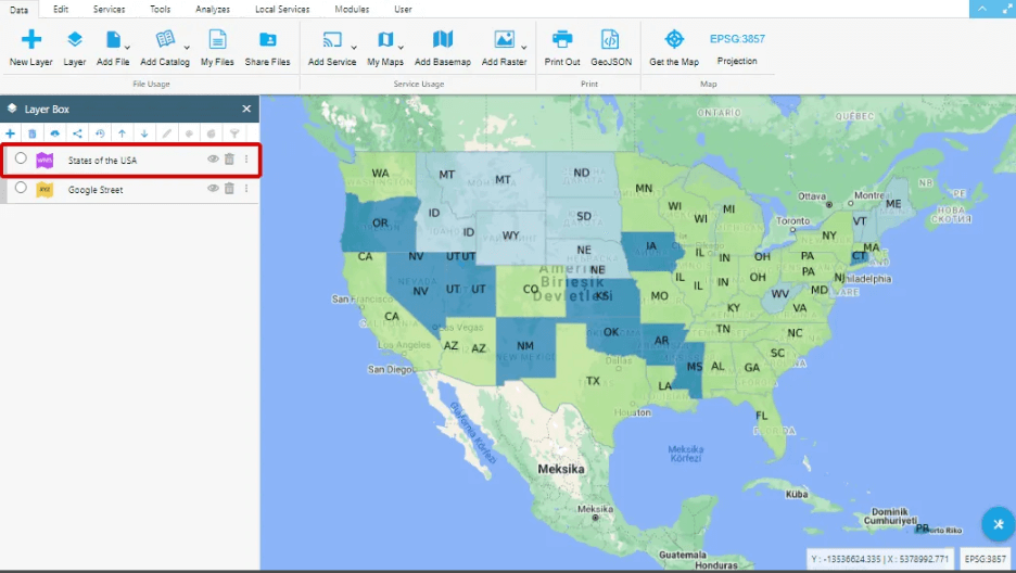
What is Web Map Service (WMS)
Easily add WMS layers to your map with GISLayer software. Watch the tutorial to learn how. View WMS sources on your map hassle-free!- Published on

Software for Controlling Network Lines and Field Task Management
With this software, you can assign real-world tasks to the geometries defined on the map as lines and monitor the traversed lines.- Published on
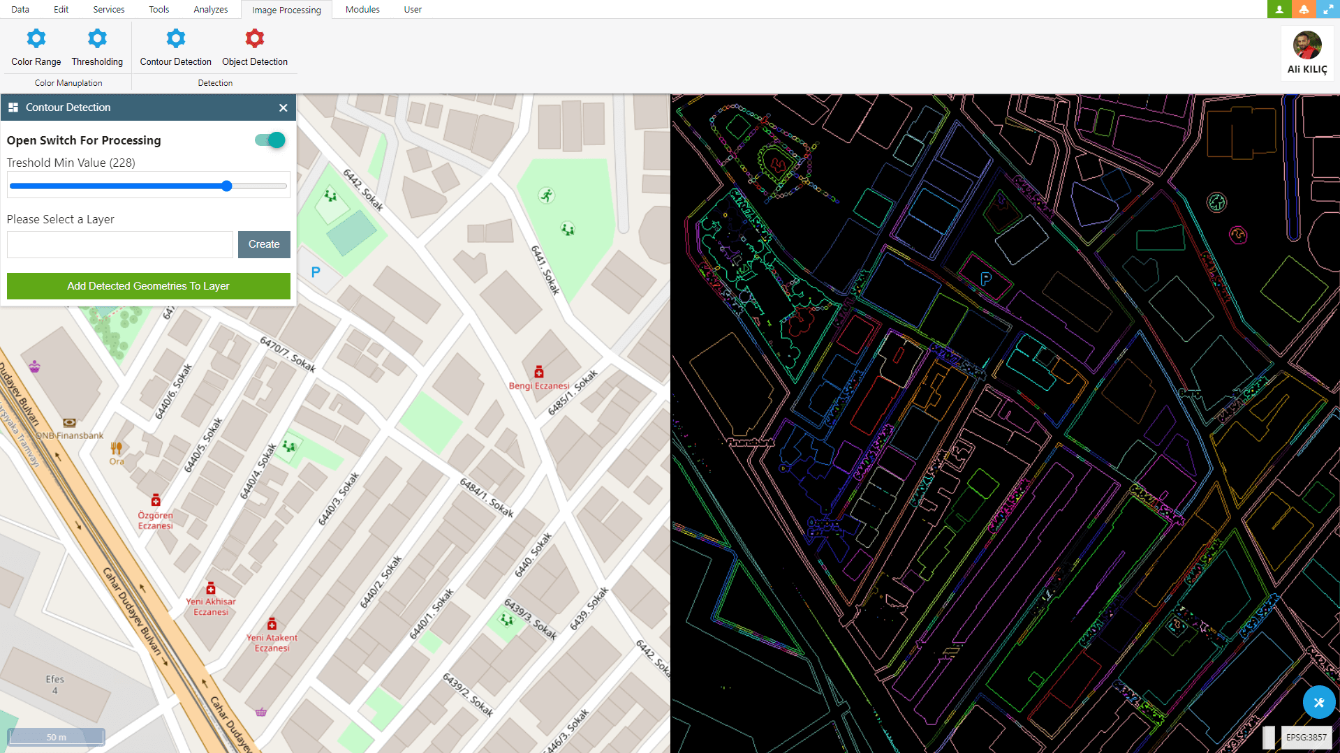
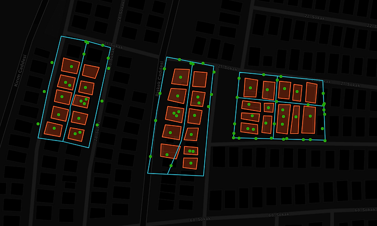
Contour Detection With OpenCV and Openlayers
Within OpenLayers, you can use OpenCV to detect and convert various geometric objects such as buildings, parcels, fields, and many more into geometries.- Published on
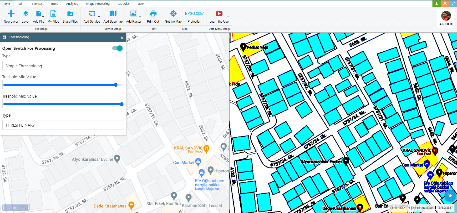
Image Thresholding With OpenCV and Openlayers
In this Blog Post, I attempted to explain how to utilize OpenCV’s Image Thresholding feature to work with GIS data on OpenLayers.- Published on
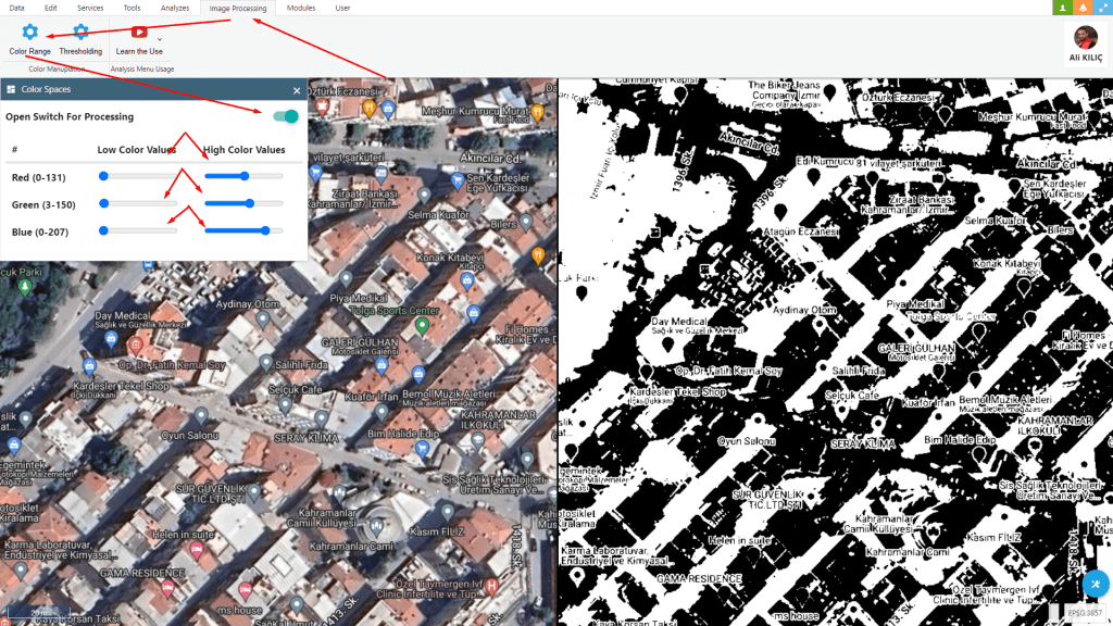
Changing Colorspaces With OpenCV and Openlayers
I tried how to perform image processing with the ‘Changing Colorspaces’ feature using OpenCV and OpenLayers.- Published on
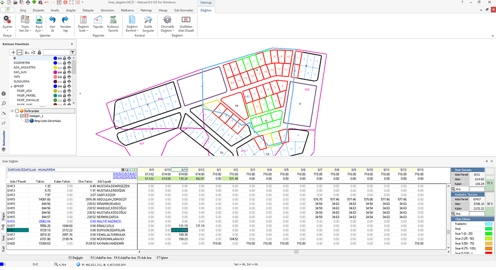
Netcad NCZ Dosyalarını Web’te Açma
Netcad NCZ dosyasını web’te nasıl açıp harita üzerinde görüntüleyeceğinizi anlattım. NCZ dosyalarınızı online bir şekilde kontrol edin.- Published on
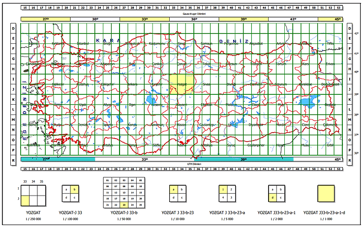
Map Layout Grid System
I have developed a map indexing system. We are using this section layout algorithm in the Turkey. Also i have developed a algorith for GARS- Published on
Spatial Queries and Functions – PostGIS Vol.1
You’ll learn; Creating a Spatial Table, AddGeometryColumn, DropGeometryColumn, ST_GeomFromText and other spatial queries- Published on
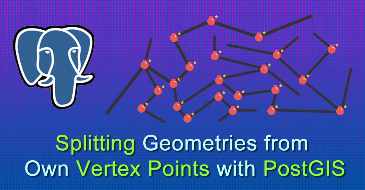
Splitting Geometries from Vertex Points with PostGIS
You can get segments of Lines – LineString with PostgreSQL PostGIS. How to do split Lines on own vertex point with SQL. Finding Segments- Published on